
Marin County ZIP Code Coverage
Marin County has eleven incorporated municipalities, including Belvedere, Corte Madera, Fairfax, Larkspur, Mill Valley, Novato, Ross, San Anselmo, San Rafael, Sausalito, and Tiburon, plus extensive unincorporated communities. Postal places do not follow that list. A ZIP code is a delivery clue, not a municipal boundary. The working table below reconciles the county's ZIP map with the postal place names used in the research. USPS remains the authority for one delivery address, so each row is a routing clue rather than a final city or service decision.
| ZIP | Areas Covered | Post Office | Notes |
|---|---|---|---|
| 94901 | Central and east San Rafael, Dominican, Canal, Peacock Gap | San Rafael | Standard delivery; postal and city edges can differ |
| 94903 | North San Rafael, Terra Linda, Marinwood, Lucas Valley, Santa Venetia | San Rafael | Incorporated and unincorporated service geography |
| 94904 | Greenbrae and Kentfield | Greenbrae and Kentfield delivery area | Substantial unincorporated area |
| 94912-94915 | San Rafael | San Rafael postal boxes and unique uses | Nonstandard or organization-specific; verify USPS |
| 94920 | Belvedere and Tiburon | Belvedere Tiburon | One ZIP spans two incorporated municipalities |
| 94924 | Bolinas | Bolinas | Unincorporated west Marin |
| 94925 | Corte Madera | Corte Madera | Standard delivery ZIP |
| 94929 | Dillon Beach | Dillon Beach | Unincorporated west or northwest Marin |
| 94930 | Fairfax | Fairfax | Fringe addresses may be unincorporated |
| 94933 | Forest Knolls | Forest Knolls | Unincorporated San Geronimo Valley |
| 94937 | Inverness | Inverness | Unincorporated Point Reyes peninsula area |
| 94938 | Lagunitas | Lagunitas | Unincorporated San Geronimo Valley |
| 94939 | Larkspur | Larkspur | Often tied to PO boxes or nonstandard delivery |
| 94940 | Marshall | Marshall | Rural, unincorporated Tomales Bay area |
| 94941 | Mill Valley and nearby unincorporated southern Marin addresses | Mill Valley | Postal area extends beyond city limits |
| 94942 | Mill Valley | Mill Valley PO boxes or nonstandard uses | Verify the acceptable mailing form |
| 94945 | North and east Novato, Black Point vicinity | Novato | City-edge and unincorporated overlap |
| 94946 | Nicasio | Nicasio | Rural, unincorporated central Marin |
| 94947 | Central and west Novato | Novato | Standard delivery ZIP |
| 94948 | Ignacio and south Novato | Novato | Delivery geography, not a boundary line |
| 94949 | Southern Novato and Hamilton | Novato | Standard delivery ZIP |
| 94950 | Olema | Olema | Small unincorporated west Marin postal area |
| 94956 | Point Reyes Station | Point Reyes Station | Unincorporated west Marin service center |
| 94957 | Ross and nearby edge addresses | Ross | Standard delivery ZIP |
| 94960 | San Anselmo | San Anselmo | Town and postal boundary may differ |
| 94963 | San Geronimo | San Geronimo | Unincorporated valley community |
| 94964 | San Quentin | San Quentin | Institutional postal identity |
| 94965 | Sausalito and Marin City | Sausalito | Includes unincorporated Marin City |
| 94966 | Sausalito | Sausalito PO boxes or nonstandard uses | Verify delivery type through USPS |
| 94970 | Stinson Beach | Stinson Beach | Coastal, unincorporated community |
| 94971 | Tomales | Tomales | Rural, unincorporated northwest Marin |
| 94972 | Valley Ford near the Marin and Sonoma area | Valley Ford | County line needs a parcel check |
| 94973 | Woodacre | Woodacre | Unincorporated San Geronimo Valley |
| 94974 | San Geronimo | San Geronimo PO boxes or nonstandard uses | Verify exact use |
| 94976-94979 | Corte Madera, Fairfax, Kentfield, San Anselmo | Local PO-box or nonstandard ranges | Not substitutes for street delivery ZIPs |
| 94998 | Novato | Unique or nonstandard Novato ZIP | Verify the particular addressee |
The table is intentionally cautious. Each ZIP code row is a graphic representation of USPS delivery areas, and Marin GIS warns that its maps are informational rather than survey accurate. A postal city may cross a municipal line, a ZIP may combine an incorporated place with an unincorporated community, and a PO-box range may not support a street search at all. Record the exact USPS result before moving into property or permit systems.
Marin County ZIP Places and City Lines
Postal geography, municipal limits, fire and service districts, school districts, tax areas, and planning areas are separate layers. A ZIP code may cross one layer while a plan area follows another. Greenbrae and Kentfield are postal place names rather than incorporated municipalities. Marin City is unincorporated even though its name sounds like a city. Lucas Valley-Marinwood, Santa Venetia, Strawberry, Tamalpais Valley, Stinson Beach, Bolinas, Point Reyes Station, Inverness, Nicasio, Tomales, Dillon Beach, and Woodacre also require a county-versus-city check before a permit or planning search.
Marin County's community and area plans show local geography for places such as Black Point, Bolinas, Dillon Beach, East Shore-Tomales Bay, Indian Valley, Kentfield-Greenbrae, Marin City, Muir Beach, Nicasio, Point Reyes, Richardson Bay, San Geronimo, Santa Venetia, Strawberry, Stinson Beach, Tamalpais Area, and Tomales. A plan area helps explain context; it does not make a neighborhood association, a city, or a ZIP boundary.
The Marin County community and area plan index is a useful visual companion when a postal label and a local place name seem to disagree.
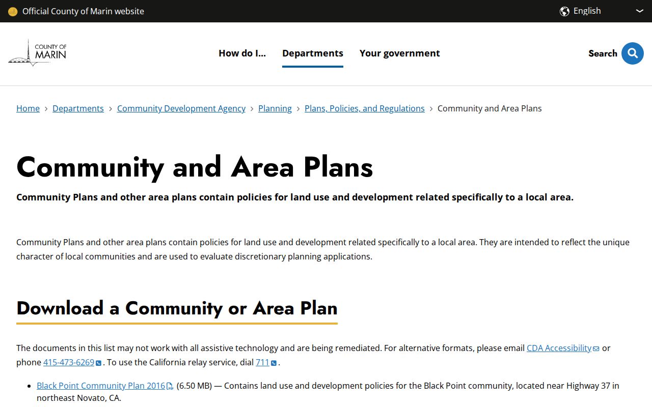
Planning geography adds local context, but USPS and the parcel jurisdiction still control the next address-level search.
Note: A postal place can point to the right valley or shoreline while still sending a records search to the wrong municipal custodian.
Verify a Marin County ZIP at USPS
An exact address should enter the postal directory through USPS first. Standardize the street suffix, directional, unit format, city name, and ZIP+4. The ZIP code result tells you how USPS accepts the address, which is more precise than a county polygon or a remembered postal label. Save the returned city and ZIP with the address as a single dated research note.
The USPS ZIP Lookup is the authority for an individual mailing address. The county GIS ZIP layer can then help with a broad map view, but it cannot override the USPS answer. The same caution applies to a rural route, a post-office box, and a place near the Marin and Sonoma line.
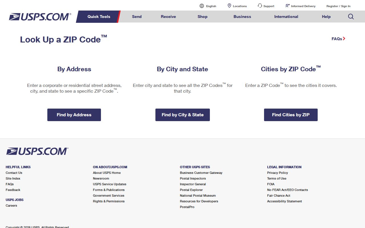
The USPS image captures the right first step: confirm the address form before using ZIP geography to choose a parcel, permit, or records office.
ZIP+4 adds delivery detail to the five-digit ZIP, but it does not turn a mailing code into a parcel identifier. It may help distinguish a unit or delivery segment while leaving the legal jurisdiction unchanged. Keep the standardized address and APN as separate fields in notes.
Marin County ZIP Map Layer Fields
The county's ZIP_CODE service is best used as a graphic browsing and export layer. The ZIP code layer can be compared with parcels, situs addresses, roads, districts, zoning, hazards, and aerial imagery. Marin GIS also publishes those neighboring layers. A map viewer can navigate to a place, show the ZIP polygon, and support a jurisdiction check, but the GIS department says its maps are informational and not survey accurate.
| Map navigation | Interactive zoom, pan, and identify tools in the ArcGIS viewer. |
|---|---|
| Find | Text or map operation for locating a place or feature. |
| Query | REST output in JSON, GeoJSON, or PBF, with a maximum record count of 2,000. |
| Export Map | PNG, JPG, TIFF, PDF, SVG, and other supported map outputs. |
| ZIP_CODE layer | County-generated polygon representation of USPS delivery boundaries. |
Use the map to find an address or parcel, inspect the ZIP polygon, and then identify the APN and local jurisdiction from the parcel layer. The first three APN digits identify the assessor map book and the next two identify the map page. That pattern can open the right scanned parcel-map sheet. An APN is an assessment locator, not a ZIP, postal address, or legal description.
Finding Marin County Residents by ZIP Code
A postal directory can narrow a research area, but Marin's public systems do not offer one ZIP-wide resident list. The ZIP code workflow must convert the postal clue into an APN or name. The assessor public application has no ZIP or address filter. It requires a Parcel Number, with a minimum five-digit format and a county example of 999-999-99, and its result set can stop at 100 records. Map mode uses Map Book and optional Map Page. The recorder cannot search by ZIP, address, or APN, so a postal clue must be converted into a name or APN first.
- Run the exact street address through USPS and save the standardized city, ZIP, and ZIP+4.
- Open the county ZIP layer or MarinMap, locate the situs, and capture the parcel number and incorporated or unincorporated jurisdiction.
- Enter the APN in the assessor system, then keep situs and mailing address separate when reading the roll.
- Use the owner or deed party name in the recorder index, because the recorder's search keys are names, references, book or page, and document title and dates.
- Choose the correct city or county permit custodian, then use any approved voter-data route only for a permitted purpose.
Marin voter data cannot be browsed by ZIP for casual public use. An approved election, political, scholarly, journalistic, or governmental request can ask for district or precinct extracts, with an original signature, identification copy, secure delivery, and no more than ten specific voters in an application. Active-voter files are delivered as tab-delimited text or PDF, and protected voters are withheld. Once a ZIP narrows the area to a street, the Marin County by-street workflow takes over at the address and parcel level.
Marin County ZIP Boundary Oddities
94965 combines incorporated Sausalito with unincorporated Marin City. A ZIP code boundary therefore cannot choose the correct building-record custodian by itself. Check the parcel and then use the city or county permit system that owns the site. The same pattern appears in 94941, where postal Mill Valley extends beyond incorporated Mill Valley into nearby unincorporated southern Marin. The postal label is a delivery clue; the parcel determines the planning path.
94964 is different again. San Quentin is an institutional postal identity and should not be interpreted like a conventional residential neighborhood ZIP. The 94912-94915, 94939, 94942, 94966, 94974, and 94976-94979 ranges also require attention because the research describes PO-box, unique, or nonstandard uses. 94998 is a unique or nonstandard Novato identity that must be checked for the particular addressee.
The Census Bureau's Marin County QuickFacts reference supplies county context, not an address-level ZIP boundary.
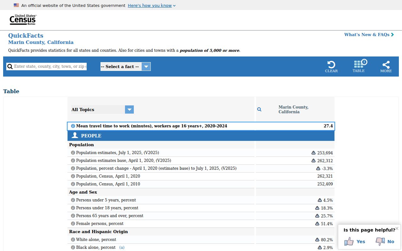
County statistics can describe the larger place, but they cannot replace USPS verification or a parcel jurisdiction check.
Marin County ZIP Records Before 1963
ZIP Codes began nationally in 1963, so they cannot be projected backward onto the oldest Marin County directories or census pages. Earlier research uses the town, post office, township or enumeration district, street, subdivision, ranch, and legal description printed at the time. A historic household may be listed under a postal town that no longer matches today's ZIP convention.
When an older address fails, compare the city directory, telephone book, historic map, Sanborn map, assessor map book, newspaper notice, and deed description. Reverse or criss-cross directories can turn an address into an occupant entry, while an ordinary alphabetical directory starts with a name. Neither proves title. Rural routes and post-office boxes need extra care because they are weak property keys.
Marin's 94924 Bolinas, 94929 Dillon Beach, 94933 Forest Knolls, 94937 Inverness, 94938 Lagunitas, 94940 Marshall, 94946 Nicasio, 94950 Olema, 94956 Point Reyes Station, 94963 San Geronimo, 94970 Stinson Beach, 94971 Tomales, and 94973 Woodacre entries show why postal community names matter in a historical search. They point to place, not necessarily to an incorporated city.
Limits of a Marin County ZIP Directory
A ZIP directory is a routing aid, not a complete resident register. It cannot reveal every household member, identify a current occupant, or select a city custodian without an address-level check. A GIS polygon is not a survey, an assessor roll is APN-based, a recorder index is name-based, and voter data is restricted. Keep the source label beside every result.
- ZIP versus ZIP+4
- A five-digit delivery area versus the added four digits that refine mail delivery within that area.
- PO-box ZIP
- A ZIP used for post-office boxes or a limited delivery pattern, not a normal street-address neighborhood.
- Unique ZIP
- A ZIP assigned to a particular institution or organization rather than a broad residential area.
- Carrier route
- A delivery sequence used by the postal system; it is not a municipal boundary or parcel layer.
- Situs and mailing address
- Situs is the physical parcel location; mailing address is where correspondence goes and may be elsewhere.
The safest chain is simple: USPS exact address, county map and APN, jurisdiction, assessor, then the record custodian that matches the question. That sequence keeps Marin County ZIP geography useful without asking it to answer a question it was never built to answer.