
Reading Marin County Neighbors by Block
A block lookup works when each source is given a specific role. MarinMap shows geometry and context. The assessment roll identifies parcel-level owner, mail-to, situs, value, use, and exemption fields. The Recorder connects names to deeds and maps. Permits show applicants, owners, contractors, and physical changes. Community pages provide public organizational contacts. Directories and census schedules add historical occupants. Voter records have special limits and cannot be treated as a public neighbor roster.
| Source | What It Shows About a Block | Access |
|---|---|---|
| MarinMap and County GIS | Parcel polygons, situs addresses, APNs, roads, aerials, districts, zoning, and hazards | Public click and browse viewer; informational, not survey accurate |
| Assessment roll | Owner or mail-to, situs, value, exemption, use, unit, and roll-year clues | APN web application; counter or data request for broader fields |
| Recorder deeds and maps | Title parties, instrument dates, subdivision links, and legal descriptions | Free index; paid copies; older access through Room 232 |
| CDA or city permits | Applicants, owners, contractors, project scope, decisions, and dated changes | Address or APN in the correct governmental jurisdiction |
| Voter material | Personal status or approved election-data products | Self-lookup or restricted statutory application; no casual block search |
| Community plans and groups | Planning geography and voluntary public contacts | Public pages; no membership rosters |
| Directories and census | Historical occupants, household context, and sequential address clues | Libraries, archives, and databases; years vary |
An owner is not a household roster. A mailing address may point away from the parcel, a permit applicant may be a contractor, and a historical directory may omit an unlisted household. Marin County neighbors are best understood by comparing dated evidence while preserving the record role.
Marin County Parcel Neighbors
The public MarinMap viewer supports a parcel-by-parcel block method. It does not confirm a public radius export, so a result should not be described as a measured neighborhood list. Start with the target address or APN, inspect the map at parcel scale, and let the geometry define which nearby parcels deserve a second look.
- Search the target address or APN and zoom until parcel outlines are clear.
- Click the target polygon and verify the situs and APN before moving outward.
- Click each touching or nearby polygon, then pan along both sides of the street to catch parcels outside the first view.
- Carry every APN into the Assessor, Recorder, and correct CDA or city permit search.
- Use measure only for orientation. Do not turn a map distance into a claimed legal boundary or confirmed radius.
Target address → verified APN → touching parcels → assessor and Recorder records → permits and community context.
The layers can add roads, aerials, zoning, hazards, districts, and other context. Marin County warns that GIS maps are informational and not survey accurate. The map is a routing tool. Recorded instruments and official land descriptions carry the stronger evidence for title or parcel history. For a full named-street chain, use the By Street records workflow.
Carry Each APN Through Marin County Records
Once adjacent APNs are noted, the Marin County Assessor Records and Maps application can show the roll and map path for each parcel. The roll lookup requires the parcel number. The map mode requires a map book and may use a map page. The first three APN digits identify the map book and the next two identify the page, which can help locate the correct scanned parcel-map sheet.
Next, use the Recorder's Official Records Index by party or name, document reference, book and page, map or reference, and dates or title. The Recorder does not search an address or APN directly. Search the assessed owner and spelling variants, then connect the deed or recorded map back to the APN and legal description. The free index is a catalog; an official copy is a separate order.
For unincorporated parcels, send the APNs to the Marin County CDA records search. Inside an incorporated city or town, use that municipality's custodian. A single APN keeps the block comparison from mixing a postal label with the wrong government office.
Marin County Owners and Resident Records
Block research becomes misleading when a record role is silently changed. The assessment roll may show an owner, mail-to name, situs, value, exemption, use, units, and roll year. A deed shows recorded parties. Neither is a complete list of people at the address. A comparison keeps official evidence apart from commercial compilations that may lag a move or merge names.
| Evidence Category | Useful For | Limit |
|---|---|---|
| GIS and parcel map | Finding adjacent land, APNs, situs, and jurisdiction | Informational map; not title, survey, or occupancy proof |
| Assessor and Recorder | Owner, mail-to, deed parties, dates, maps, and legal descriptions | Ownership evidence is not a household roster |
| Permit and planning files | Applicants, owners, contractors, construction, and decisions | Project roles do not prove who lives at the parcel |
| Commercial compilation | Possible unverified leads for a name or old address | May merge names, retain old data, and lack a reliable source date |
Use the official source when a fact matters. Keep a commercial lead in a separate note and confirm it through the custodian, deed, map, directory, or archive that can explain the name and date.
Marin County Block Permit Records
The CDA records-search page routes unincorporated parcels to Building and Safety, Environmental Health Services, Planning, and Public Hearings. Search by APN or situs address, then compare dated results across the nearby parcels. The CDA counter at 3501 Civic Center Drive, San Rafael, CA 94903, handles older or non-digitized material. It is open Monday through Thursday from 8 a.m. to 4 p.m. and Friday from 8 a.m. to noon; the phone is 415-473-6269.
The county public records landing page shows the department paths that connect a block to its permit custodian.
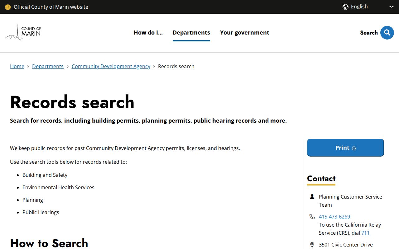
A permit record can identify an applicant, owner, contractor, project address or APN, scope, report, and decision date. Those details help compare physical changes across a block, but they do not identify every current neighbor.
The CDA Building and Safety Public Access Viewer is the more focused building path.
Inside a city or town, the municipal permit portal replaces the county viewer. Postal city alone cannot choose between those custodians.
Marin County Voter Records Limits
California My Voter Status is an identity-matched self-lookup, not a reverse directory. It prompts for a first name, last name, date of birth, and a protected driver-license or identification detail or SSN-derived identifier as required. A match can return personal registration status, party preference, county, districts or precinct, and election information. It cannot browse a street or reveal all Marin County neighbors.
The Marin Elections voter-registration page explains that the underlying data is restricted. Full extracts require an approved election, political, scholarly, journalistic, or governmental purpose. Protected Safe at Home and confidential voters remain shielded, and ballot choices are never a result field.
The Marin Elections voter-registration guidance illustrates the difference between personal verification and block research.
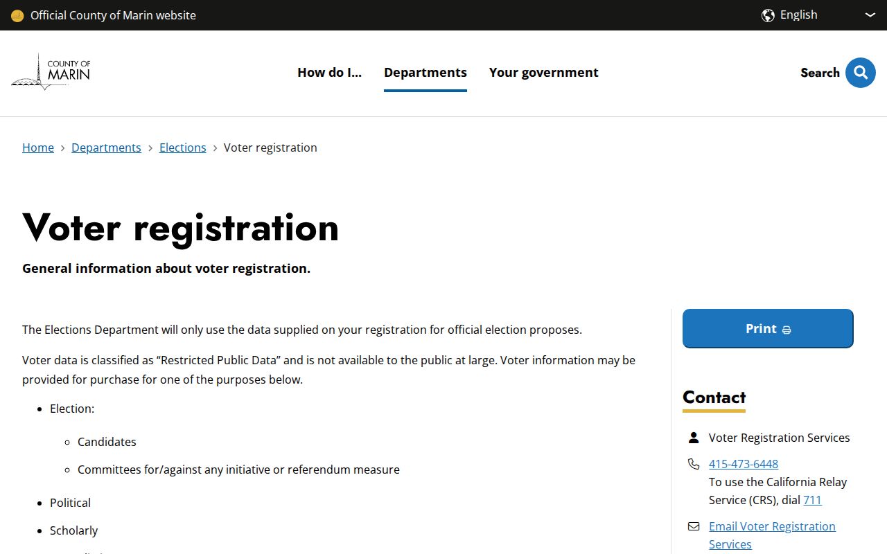
A status match may help a person check their own record. It does not authorize a public list of neighbors or prove that someone still lives at the address.
Marin County Controlled Voter Records
Marin's voter-data application requires applicant identity and contact information, organization or requester details, requested geography or product, proposed use, supporting documents, delivery choice, declarations, an original signature, and a security acknowledgment. A request for specific voters can cover no more than 10 people per application and should provide identifying detail. Review can take up to 10 business days.
Approved county or district data is delivered by secure download as tab-delimited text or PDF and contains active voters at extraction. Specific-voter responses are redacted paper or PDF. The county prohibits sharing, viewing, or storing the file outside the United States. Elections Code section 2194 and Government Code section 7924.000 control permitted use and protected fields.
The Marin voter-data purchase page shows why a controlled file cannot be treated as a general neighbor directory.
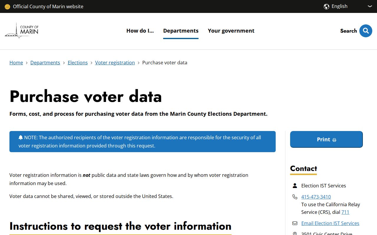
A block question that depends on voter data must fit the statutory purpose, the approved geography, and the county's security rules. A general curiosity question does not open the file.
Marin County Neighbor Contacts
The official District 1 government and neighborhood services directory names local organizations and public contacts. It does not make member names, household lists, or owner lists public. Use the groups for civic context or a voluntary public contact, not as a reverse directory of Marin County neighbors.
| Public Layer | Named Organizations | What It Provides |
|---|---|---|
| San Rafael network | Federation of San Rafael Neighborhoods | Umbrella civic context and public organization links |
| Neighborhood associations | Bayside Acres; Lincoln San Rafael Hill Neighborhood Association; Los Ranchitos Improvement Association; Mont Marin and San Rafael Park Neighborhood Association; Point San Pedro Road Coalition; Santa Venetia Neighborhood Association; Terra Linda Neighborhood Association; West End Neighborhood Association | Public contacts or community context when voluntarily published, not membership rosters |
| Development groups | Contempo Marin HOA; Lucas Valley HOA | Public group references, not private association lists |
| Public service district | Marinwood Community Services District | Agency and meeting context, not a directory of all residents |
Community organizations can help explain a place name, meeting area, or civic issue. They cannot supply private HOA, congregation, watch-group, or household membership. Preserve the distinction between a public contact and a private roster.
Marin County Neighborhood Records
The county's Community and Area Plans page lists Black Point, Bolinas, Bolinas Gridded Mesa, Dillon Beach, East Shore-Tomales Bay, Green Point, Indian Valley, Inverness Ridge, Kentfield-Greenbrae, Kent Woodlands, Marin City, Muir Beach, Nicasio, Paradise Drive, Paradise Ranch Estates, Point Reyes, Point San Quentin, Richardson Bay, San Geronimo, Santa Venetia, Strawberry, Stinson Beach, Tamalpais Area, and Tomales.
These plan areas help place a block in a planning and service geography. They do not define association membership, an HOA boundary, a household, or a list of Marin County neighbors. A parcel can sit inside one plan area while its postal city, municipal limit, service district, and voluntary association use a different name.
Marin County Postal Neighbor Lines
ZIP and postal labels are useful clues, but they do not settle a block's government or community boundary. ZIP 94965 combines incorporated Sausalito with unincorporated Marin City. Postal Sausalito can therefore describe an address whose building records belong to a different custodian. The same address may also sit in a county service district, a community-plan area, and an association geography that do not share the postal name.
Use the parcel, APN, and jurisdiction before comparing neighbors. Marin County's GIS layers can show the context, while the assessor, Recorder, CDA, city, and community sources each answer a separate part of the question. This is why a postal search alone can place the wrong record set beside the right street.
Note: A postal city, municipal limit, service district, plan area, and neighborhood association are different kinds of geography.
Use NextRequest for Marin County Records
When a county administrative record is not exposed in a specialized viewer, the Marin County NextRequest portal is a fallback. Anonymous requests are allowed. Under the California Public Records Act, an agency ordinarily makes a determination within 10 days and may give written notice of an unusual-circumstance extension of no more than 14 additional days. Inspection is normally free, while copies may carry direct duplication costs.
A request should identify the department, address or APN, record type, date range, and desired format. NextRequest is not a substitute for a certified deed, a restricted voter file, or private subscriber information. It is a way to ask for a reasonably described county administrative record that is not already in the correct public viewer.
The Marin County public-request portal is the documented route for an administrative-record gap.
A clear APN and narrow date range give the records custodian a better chance of finding the right block file without confusing it with a street-wide roster.
Privacy Limits for Marin County Neighbors
A block lookup cannot expose unnamed non-owner occupants, household members, DMV or utility subscriber data, delivery records, protected voter addresses, or HOA, congregation, and watch-group membership. Commercial compilations may lag moves and merge names, so they remain category-only leads. An owner name is not permission to infer a household, contact a person, or publish a private detail.
Lawful use. Neighbor research in Marin County is appropriate for personal safety awareness, civic context, reconnecting, and a lawful curiosity about parcel history. Do not use records to watch, stalk, harass, intimidate, or harm anyone. California stalking law includes Penal Code section 646.9, and civil-harassment remedies are addressed in Code of Civil Procedure section 527.6.
Keep only the minimum fact needed for the stated purpose. If a record could affect a living person, confirm it with the office that holds the original and preserve the date and record role. Responsible Marin County neighbors research ends where private life begins.